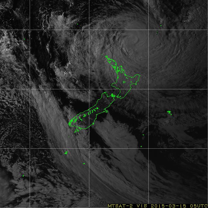
Visible Satellite Image of NZ as at 6pm // via MTSAT Real-Time Image
Strangely enough, the winds are subsiding! In the last hour the maximum gust has been 41kph, and average wind-speed of 15kph. Cloud coverage is pretty thick though, and while the rain continues it is not particularly heavy. We’re still yet to hit the peak of the storm however, so it may ramp up again.
The storm has weakened from a Category 5 to a Category 4, but may still pack a punch as it swipes the North Island. We may get off lightly here in Auckland, with most of the force hitting to the North and East of us.
To the right is the latest satellite image showing the storm’s position off the cost of New Zealand.
I shall be compiling a time-lapse of the storm for the 30 hours from midday until 6pm tomorrow, which I shall publish here once it has been edited and uploaded. So long as the power holds up overnight…
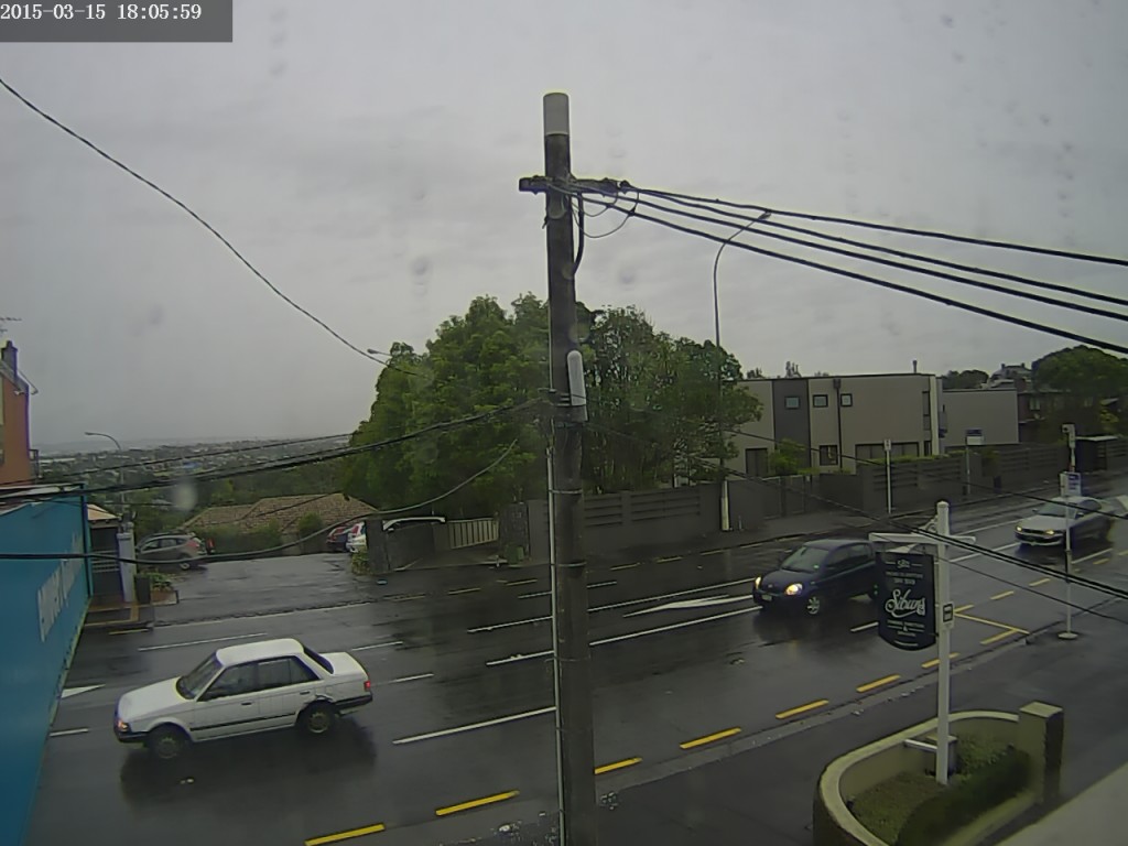
Weather Camera view to the South from my lounge windows – 6:00pm