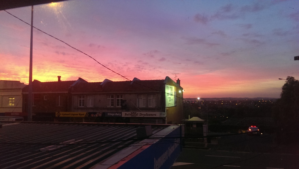
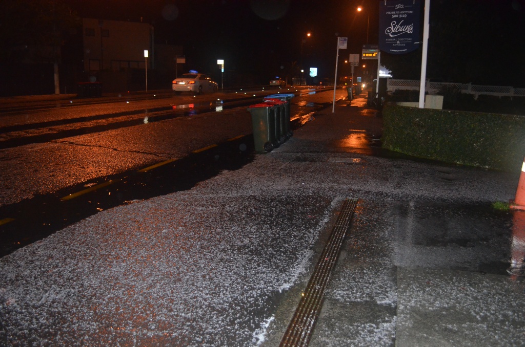
Auckland Storm – 10 June 2014
We’ve had a dose of extreme whether over the last 24 hours, and I slept through most of it. While I do enjoy a good storm, ones which occur mid-week and peak over overnight take a back-seat to a good night’s sleep. There was plenty of uprooted trees and other damage around the city, however there was little to report at my place other than the usual puddle inside my front door which always occurs when there’s driving range from the south. No thunder and lightening either, however it’s not really the season for it.
Cyclone Pam Liveblog – Update #2
Waiting on the rain…
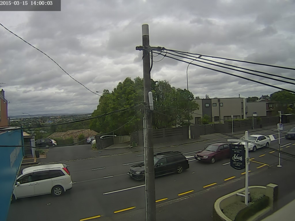
Weather Camera view to the South from my lounge windows – 2:00pm
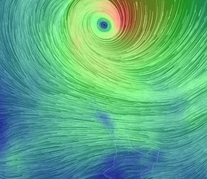
Cloud cover is steadily increasing. Winds continue to increase, gusting up to 50kph over the last hour. No rain as of yet, however it should be here within the hour, so might need to close the windows. The storm still looks particularly spectacular on the wind map:
Wind Map as at 2pm // via earth.nullschool.net
Cyclone Pam Liveblog – Update #3
The Barometer continues to drop, we’re down below 1000hPa now.
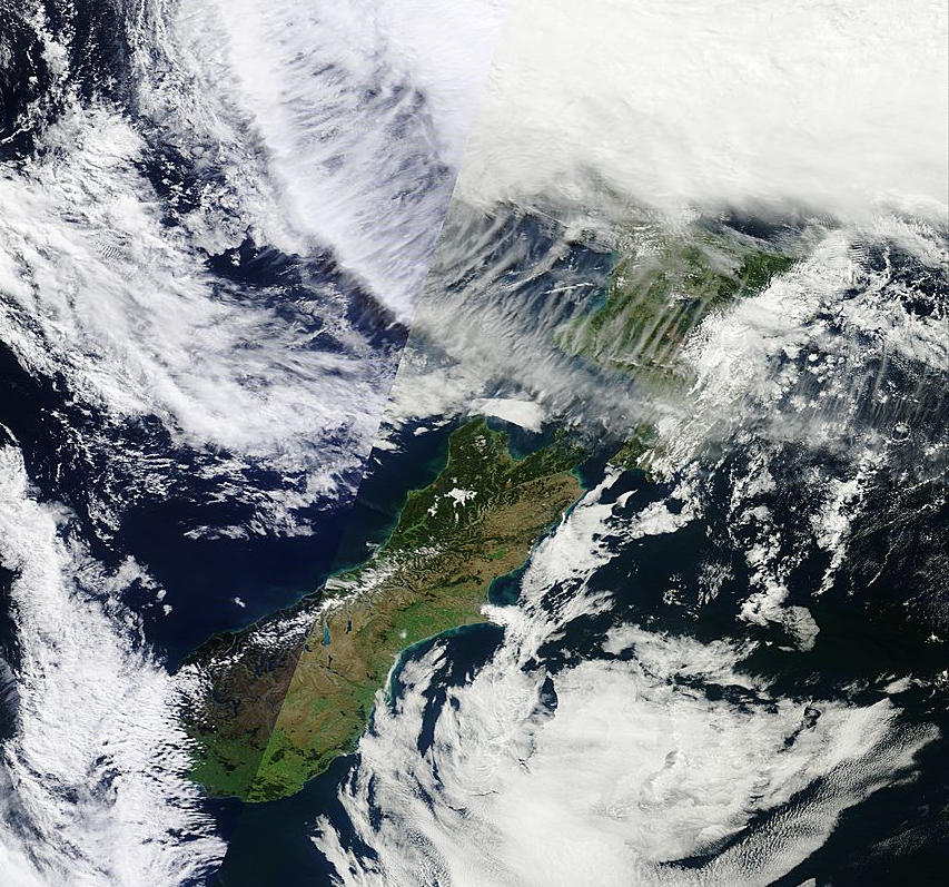
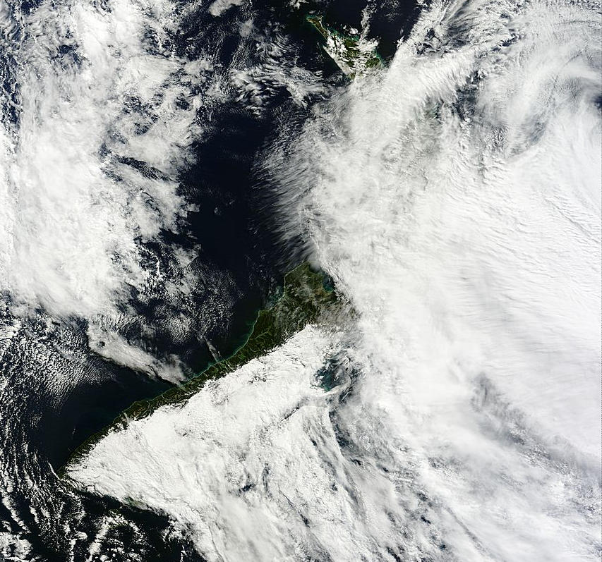
New Zealand Terra Satellite – 2km resolution – 9am/11am // LANCE Rapid Response MODIS images
Some light rain has begun to call in the last 30 minutes, with winds gusting up to 55kph. Cloud continues to thicken and humidity on the rise.
The image on the right is made up of satellite passes from 9am and 11am this morning, already showing the upper North Island covered in cloud.
Civil Defence warnings continue this afternoon, recommending we keep listening for warnings as things progress.
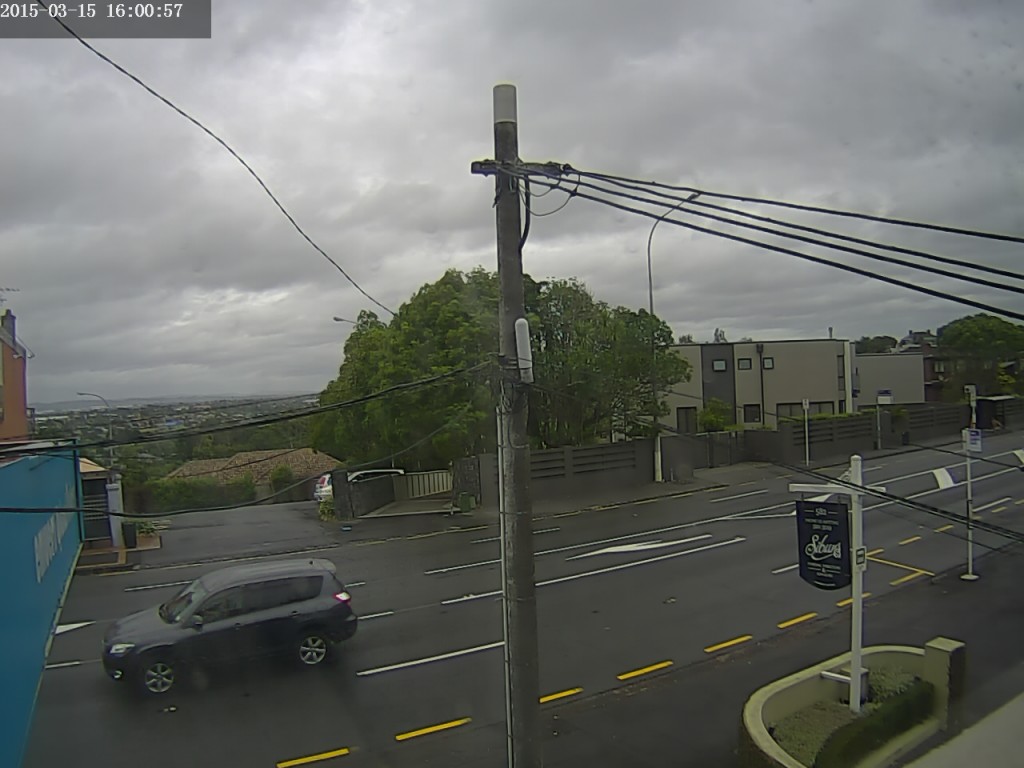
Weather Camera view to the South from my lounge windows – 4:00pm
Cyclone Pam Liveblog – Update #4
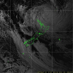
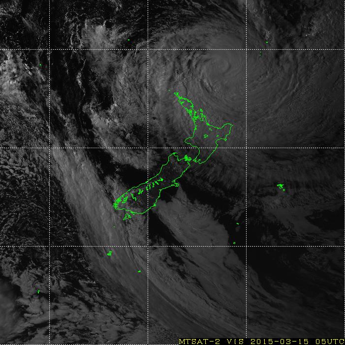
Visible Satellite Image of NZ as at 6pm // via MTSAT Real-Time Image
Strangely enough, the winds are subsiding! In the last hour the maximum gust has been 41kph, and average wind-speed of 15kph. Cloud coverage is pretty thick though, and while the rain continues it is not particularly heavy. We’re still yet to hit the peak of the storm however, so it may ramp up again.
The storm has weakened from a Category 5 to a Category 4, but may still pack a punch as it swipes the North Island. We may get off lightly here in Auckland, with most of the force hitting to the North and East of us.
To the right is the latest satellite image showing the storm’s position off the cost of New Zealand.
I shall be compiling a time-lapse of the storm for the 30 hours from midday until 6pm tomorrow, which I shall publish here once it has been edited and uploaded. So long as the power holds up overnight…
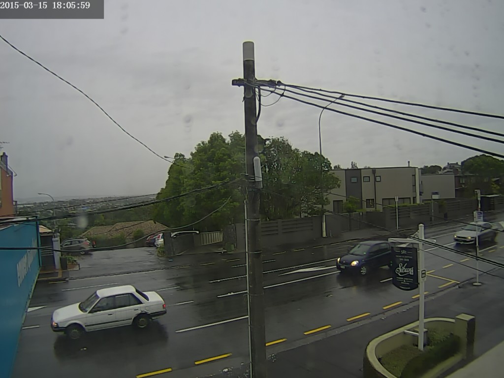
Weather Camera view to the South from my lounge windows – 6:00pm
Cyclone Pam Liveblog – Update #5
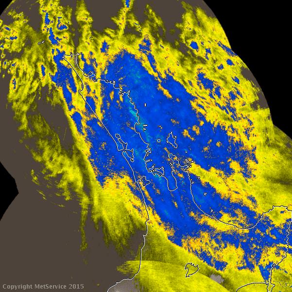
Auckland Rain Radar as at 7:50pm // via metservice.com
Night arrives, and the rain has set in with constant showers, although not heavy yet. Winds are slowly shifting to the South as the storm tracks parallel to the North Island.
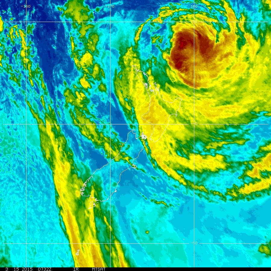
The winds have continued to drop as they have shifted around, mostly because they now have more land and hills to cover than previous and cannot draw as much energy as they do crossing the ocean. The rain appears to be slightly heavier around Whangarei, as shown on the rain radar image on the right.
The meteorologists are saying that worst weather will peak during the early hours of the morning (severe weather never occurs at convenient times for storm watching!) and will easy around dawn. I’ll continue to post up until 10pm this evening, then a round-up of any interesting events that occurred overnight will follow tomorrow night.
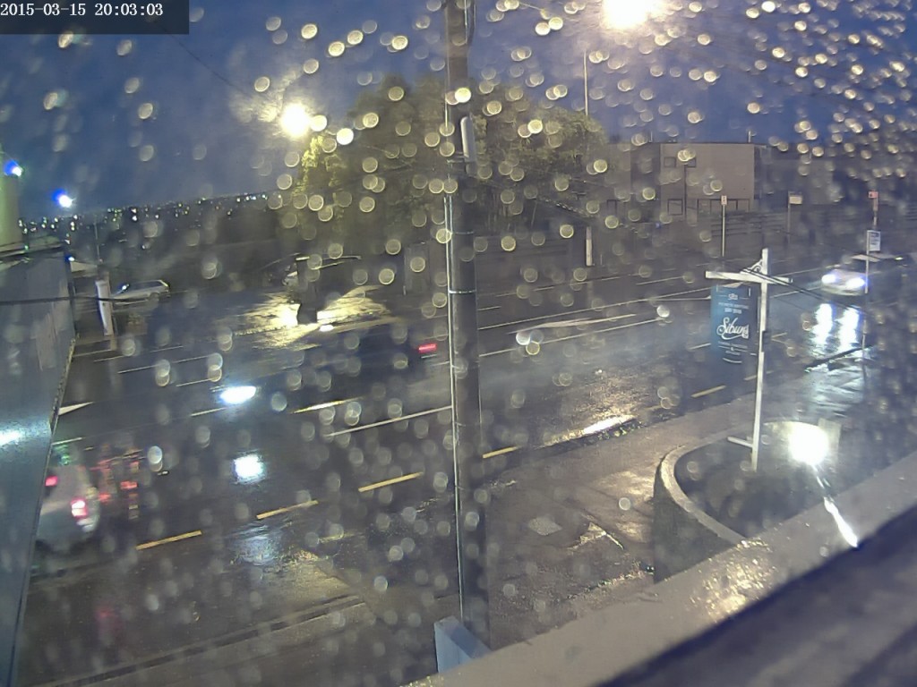
Weather Camera view to the South from my lounge windows – 8:00pm
Cyclone Pam Liveblog – Update #6
MSTAT infrared satellite image as at 8pm // via NOAA.gov
As the wind as moved to the South and barometric pressure levelled off at 994hPa, the rain continues at a steady 0.6mm per hour, with 6.4mm fallen so far today.
At this stage of the evening there is little new to update here in Auckland. The wind is fluctuating around 15kph with gusts up to 30kph. The Weather Camera will continue to record overnight to capture any interesting changes.
Check back tomorrow evening for the final update!
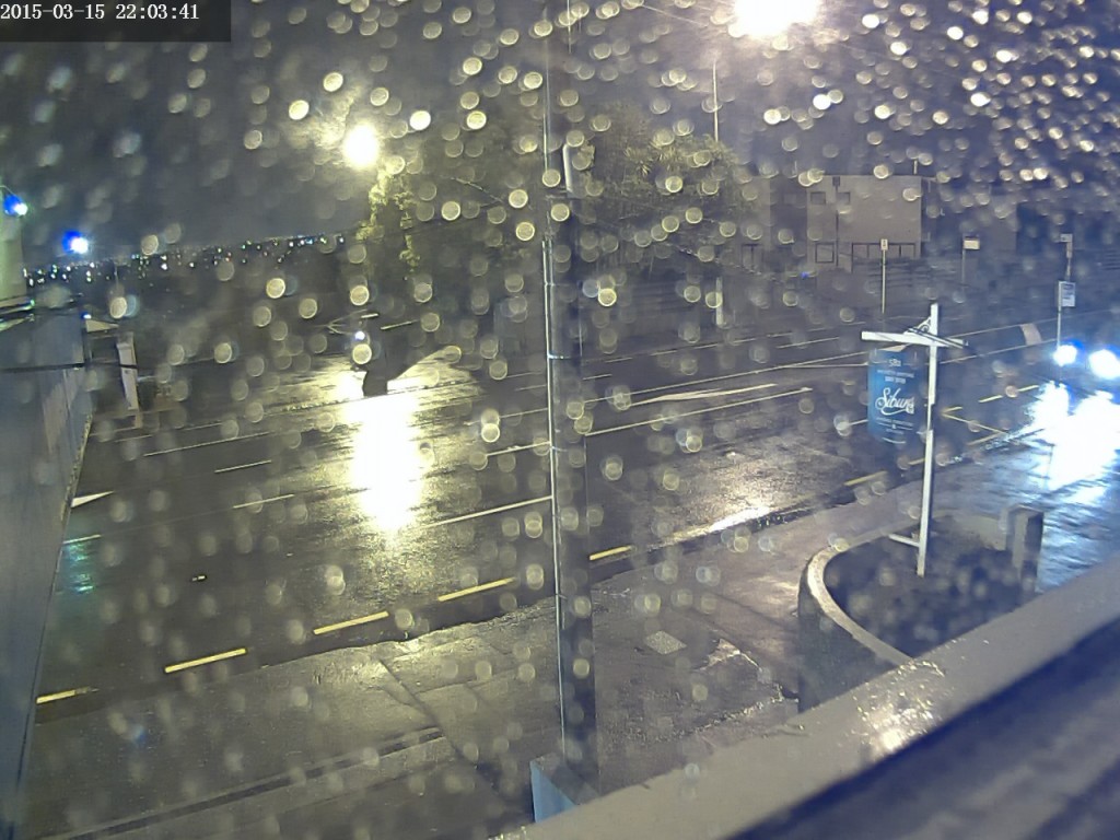
Weather Camera view to the South from my lounge windows – 10:00pm
Cyclone Pam Liveblog – Final Update
Better late than never, but here is the final update!
Auckland got off pretty lightly, with windows only reaching a peak of 60kph and moderate amounts of rain. The East Coast of the North Island experienced stronger winds, and there were some evacuations due to flooding and slips, but overall we dodged a bullet with that one.
As promised, here is a time-lapse video covering the 28 hours of Cyclone Pam:
Rainy Afternoon in March
Another Rainy Day in Auckland – Timelapse Video
It was a rainy day in Auckland today, so I decided to make a little timelapse. This one was taken over a period of four hours during the afternoon. I’ve adjusted the contrast a bit to enhance th...
Six Hour Cloud Time-lapse – Le Roi du Ciel
Some interesting cross-winds happening at different altitudes sending clouds in two different directions. Thunderstorms were forecast further south and I was hoping it would push some interesting clou...
The Storm
Lying in bed and failing at sleeping the night before a job interview I noticed the flashes in the distance after turning off the light. After checking an online lightning tracker, I saw this storm wa...
Afternoon Cloudscapes
Cyclone Pam Liveblog – Update #1
Welcome to the first instalment of my Cyclone Pam Liveblog. Hooray for significant weather events! Since Cyclone Pam will be brushing past Auckland over the next 24 hours, it’s only fair that I log a few updates for posterity.
As at around midday today, the cyclone is centred about halfway between the top of New Zealand and the bottom of New Caledonia, although the first of the rain will be reaching the top of the North Island right now.
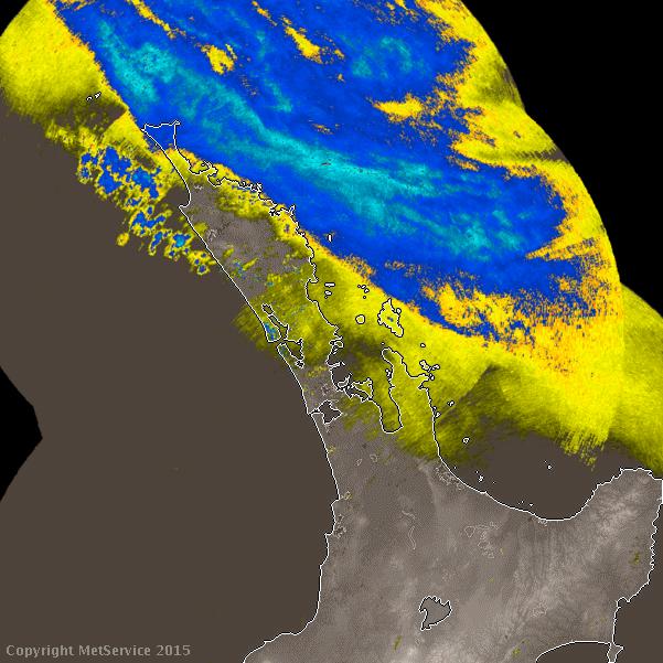
Rain Radar as at 11:48am / image via Metservice.com
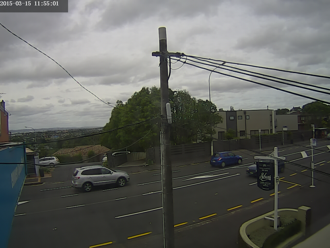
Right now in Remuera, the sky is overcast, with building clouds and winds blowing to the East, but nothing out of the ordinary. Still got the windows open keep a pleasant breeze through the place.
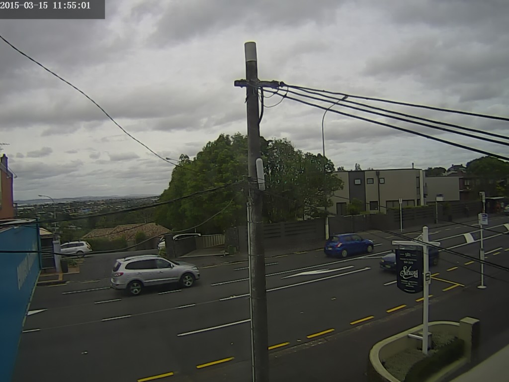
Weather Camera view to the South from my lounge windows – 11:55am
Will blog further updates every couple of hours, or as events unfold.
Changeable Skies
Clouds Clouds Clouds
I really need to for something more interesting to post than clouds clouds clouds.
Almost a Thunderstorm